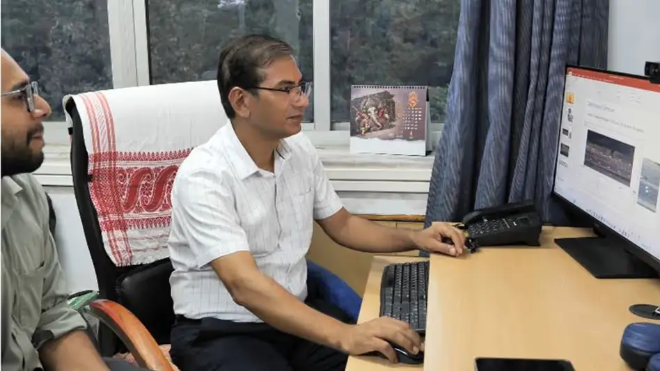
 Photo Courtesy: India Today Group
Guwahati: IIT Guwahati researchers built new mathematical and machine learning models to track traffic movement across India. The team used drone footage from an eight-lane highway near Delhi to collect data. This study observed over 36,000 vehicles and nine million vehicle positions. Professor Akhilesh K Maurya led the project alongside scholars Shekhar Singh and Surya H Ravikumar.
Conventional traffic models often fail on Indian roads. Indian traffic mixes two-wheelers, three-wheelers, cars, and pedestrians in tight spaces. This leads to erratic patterns. The team analyzed daytime drone footage to map the relationship between speed and density. They found that vehicle spacing fluctuates based on congestion levels. Gaps shrink as traffic grows but widen again when traffic hits a standstill. At full flow, 3,000 vehicles pass a single lane point before jams start. During a standstill, density hits 900 vehicles per kilometer across the road width.
The team tested six math models and two machine learning models. Unlike older systems that predict one speed, these models calculate a range of potential speeds. Maurya highlighted why this work matters. "Existing models were developed using traffic conditions that differ from those found in the country," Maurya said. The research appeared in the International Journal of Intelligent Transportation Systems Research. Experts say this data will help design better roads, intersections, and traffic management systems. Future research will expand data collection across more cities and road types to build digital twins for urban traffic.





Comments