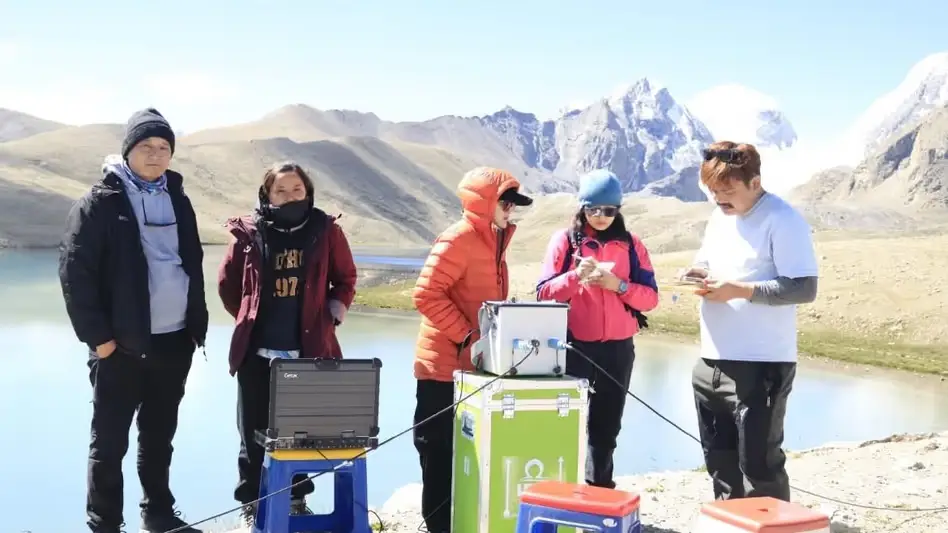
 Photo Courtesy: India Today Group
Gangtok: Scientists wrapped up a field mission in North Sikkim on August 8. The team spent over two weeks scouring remote high-altitude zones in the Mangan district to identify lakes prone to Glacial Lake Outburst Floods. These sudden surges of water and debris threaten downstream valleys as the Himalayan cryosphere shifts.
The expedition ran from July 23 to August 8. The Department of Science and Technology led a massive effort involving the Sikkim State Disaster Management Authority, the Department of Mines and Geology, Sikkim University, the Sikkim Commission on Glacial Hazards, C-DAC Trivandrum, the Central Water Commission, the Brahmaputra Board, and Campbell Scientific. The Indian Army and the Indo-Tibetan Border Police helped the group reach tough, high-altitude terrain.
The crew deployed advanced tech to size up the threat. They used bathymetric surveys to measure lake depth and volume, Electrical Resistivity Tomography, Differential Global Positioning System surveys, and hydrological assessments. They also installed weather monitoring stations at Kerang and Goma Chhu. Experts will use this data for hydrodynamic modelling and hazard mapping.
The findings provide a roadmap for the state. Officials intend to move past broad risk assessments and create lake-specific plans. According to the report, these findings are "expected to form the scientific basis for lake-specific Comprehensive GLOF Hazard Mitigation Plans." These strategies will bolster early-warning systems, monitoring capabilities, and local preparedness for communities living in the shadow of these unpredictable water bodies.







Comments