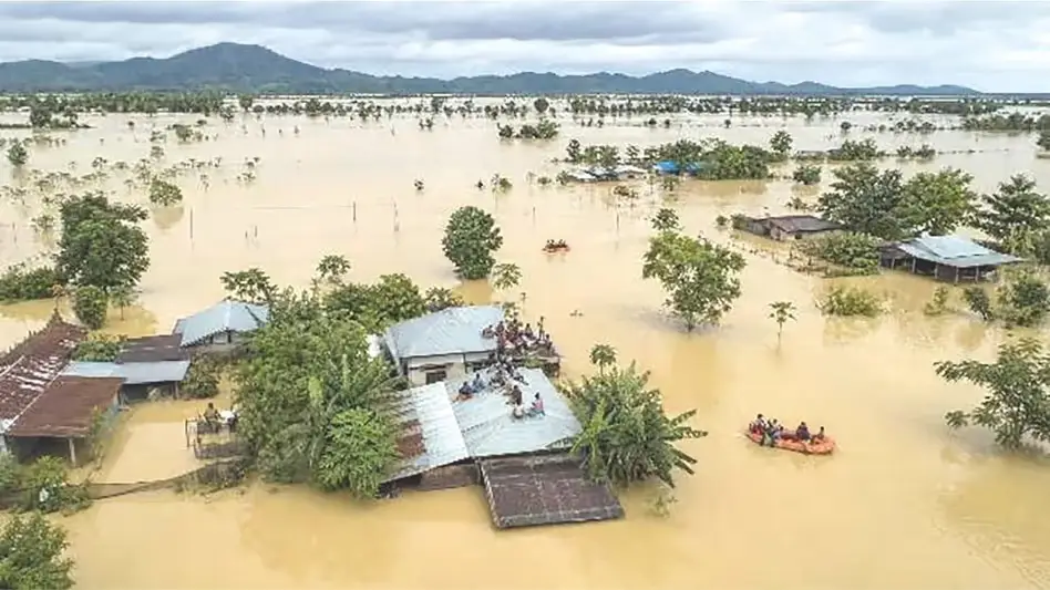
 Photo Courtesy: India Today Group
Guwahati: Assam faces a grim reality. Floods are hitting the state more often and with greater force, according to a report from Climate Trends. The Delhi-based organization points to a dangerous mix of shifting river systems, human expansion, and a warming planet. Roughly 40 percent of the state sits on land prone to flooding. The Brahmaputra acts as a wild, sediment-rich force that constantly redraws the local maps through heavy erosion.
This year saw persistent monsoon systems parked over the Bay of Bengal. Mahesh Palawat of Skymet Weather noted the impact of these weather patterns. "There have been back-to-back weather systems forming in the Bay of Bengal during July," Palawat said. These systems funneled moisture toward the Northeast, triggering heavy rain and sudden cloudbursts. Warmer air holds more water, making these extreme downpours a regular feature rather than a freak occurrence.
Rising global heat also melts Himalayan glaciers. This surge of water hits the Brahmaputra tributaries with more volume than before. Deforestation and messy urban growth further ruin the soil, leaving the earth unable to soak up the excess water. Predicting these events remains a headache. Sparse data and poor international coordination hobble even the most advanced early warning systems. Models now project that floods across the Indus-Ganga-Brahmaputra basins will grow more violent through 2059.
The risk extends to the very structure of the basin. Increased sediment and degraded wetlands threaten the future of regional agriculture. Dr. Akshay Deoras of the University of Reading sees the shift in real time. "We have been witnessing sharp intraseasonal variations in the rainfall patterns; either the rainfall is very intense or break-monsoon periods are quite long, triggering extreme weather events," Deoras stated. He insists the state must move beyond watching rainfall totals. Officials need to adjust their flood preparedness to match these erratic, shifting seasonal behaviors.





Comments