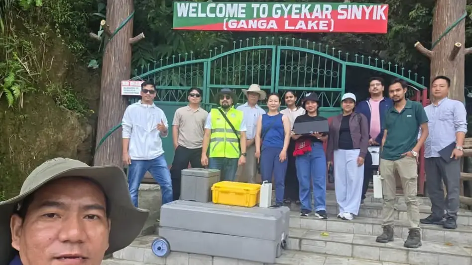
 Photo Courtesy: India Today Group
Itanagar: Scientists from the Centre for Earth Sciences and Himalayan Studies have started a deep dive into Ganga Lake in the Papum Pare district of Arunachal Pradesh. Locals call it Gekar Sinying. The lake is fading. Experts from various IITs are guiding this mission to map hydrology, geomorphology, and shifting catchment dynamics.
Increasing human interference and pollution now threaten the site. The lake acts as a vital indicator for local climatic shifts and regional health. It supports a diverse range of aquatic life, phytoplankton, and rare butterflies. Researchers must track how these species fare as water levels, lake volume, and shoreline configurations change due to mounting environmental pressure.
The team uses unmanned aerial vehicles and remote sensing to gather data. They are pairing this tech with field measurements and stable-isotope analysis. They want to connect the dots between the water body and its surrounding land. The CESHS stated, "The findings could help provide scientific inputs for local governance, climate-risk assessment, freshwater-resource management and biodiversity conservation."
Data collection covers everything from sedimentation patterns to watershed processes. The goal is simple. Build a baseline for the lake and predict how it will handle future stress. This research provides a map for long-term conservation and management strategies to protect the state capital’s primary freshwater source.






Comments