 Photo Courtesy: India Today Group
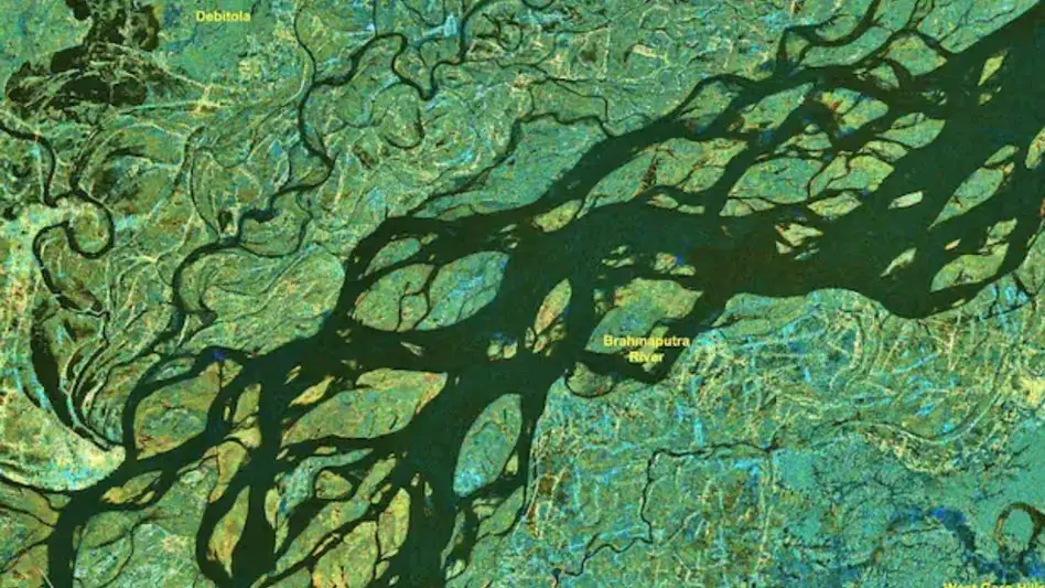
Guwahati: ISRO delivered 33 flood inundation maps to the Assam State Disaster Management Authority this monsoon. These tools help teams monitor floods and run rescue operations. Union Minister Jitendra Singh confirmed the data reached Assam by July 28. The Centre provided this update in a written Lok Sabha reply.
The agency used Synthetic Aperture Radar and optical satellite data. They funneled these inputs through the National Database for Emergency Management. The radar tech works in any weather, day or night. It pierces through cloud cover when optical satellites cannot see the ground. These maps help officials track flood-prone land and guide local development plans.
ISRO wants to speed up disaster response times. They used semi-automated algorithms and new workflows to process the imagery. "The spatial flood inundation data is published on the National Database for Emergency Management (NDEM) portal for visualisation at the district and sub-district levels. High-resolution satellite data is also used to assess flood damage at the district level, subject to the availability of cloud-free satellite imagery," Singh said.
The agency generates district-level reports to bolster ground operations. They rely on global satellite feeds to keep the information current. Accurate data saves lives. The ministry continues to prioritize better flood monitoring across the state.





Comments