#Satellites
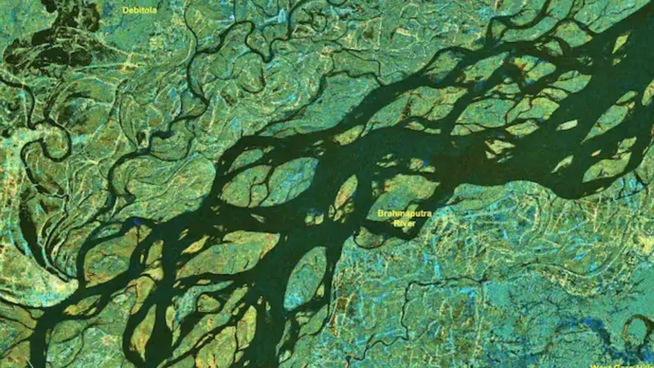
ISRO Supplies 33 Flood Maps to Aid Assam Disaster Response
ISRO sent 33 flood inundation maps to Assam to assist rescue teams with monsoon operations. The data helps track floods and manage emergency responses.
Bibar Daimary • 6 Aug 2026
Satellite Mapping to Tackle Northeast Border Disputes
Union Minister Dr Jitendra Singh says satellite mapping will settle Northeast border disputes while boosting regional development and flood warnings.
NEWire Desk • 15 Jul 2026